new geoservertest
| Authors: | |
|---|---|
| Owners: | Martin Seul |
| Type: | Resource |
| Storage: | The size of this resource is 4.2 GB |
| Created: | Sep 16, 2022 at 3:31 p.m. (UTC) |
| Last updated: | May 26, 2023 at 2:20 p.m. (UTC) |
| Citation: | See how to cite this resource |
| Content types: | Geographic Feature Content Geographic Raster Content |
| Sharing Status: | Public |
|---|---|
| Views: | 325 |
| Downloads: | 20 |
| +1 Votes: | Be the first one to this. |
| Comments: | No comments (yet) |
Abstract
My abstract with more than 150characters so have to add more words
Subject Keywords
Coverage
Spatial
Coordinate System/Geographic Projection:
WGS 84 EPSG:4326
Coordinate Units:
Decimal degrees
North Latitude
31.7639°
East Longitude
-83.1234°
South Latitude
30.7319°
West Longitude
-83.9045°
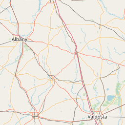
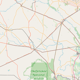

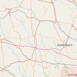

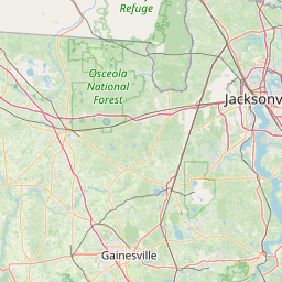
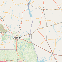

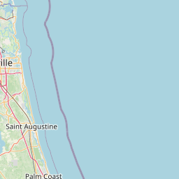


Leaflet Map data © OpenStreetMap contributors
Content
This resource contains links to external content. Linked content is
NOT stored in HydroShare, and we can't guarantee its availability, quality, or
security.
Data Services
The following web services are available for data contained in this resource. Geospatial Feature and Raster
data are made available via Open Geospatial Consortium Web Services. The provided links can be copied and pasted
into GIS software to access these data. Multidimensional NetCDF data are made available via a THREDDS Data Server
using remote data access protocols such as OPeNDAP. Other data services may be made available in the future to
support additional data types.
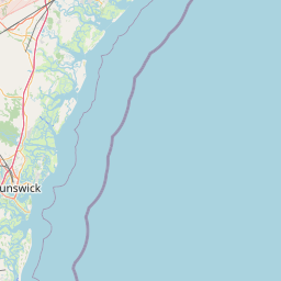
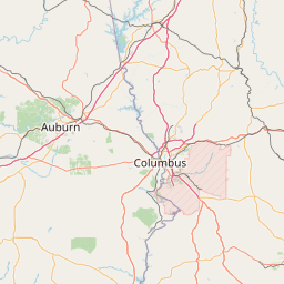
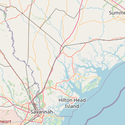
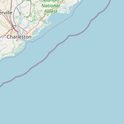
Related Geospatial Features
This HydroShare resource is linked to the following geospatial features


Leaflet Map data © OpenStreetMap contributors
How to Cite
Seul, M. (2023). new geoservertest, HydroShare, http://www.hydroshare.org/resource/92b9ecf225094892a3bebec455e53308
This resource is shared under the Creative Commons Attribution CC BY.
http://creativecommons.org/licenses/by/4.0/
Comments
There are currently no comments
New Comment